


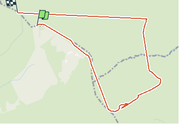

18.4 km | 24 km-effort


User


FREE GPS app for hiking
 SityTrail
IGN / Geographical institutes
SityTrail World
The world is yours!
Trail Walking of 5.5 km to be discovered at Occitania, Aveyron, Saint Geniez d'Olt et d'Aubrac. This trail is proposed by mimi.rozes.
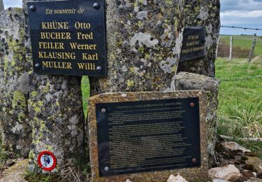
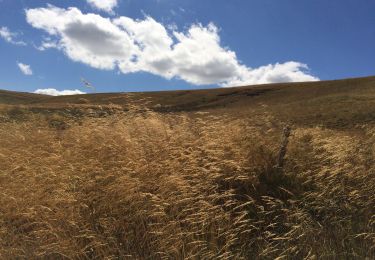
Marche jusqu au signal de Mailhebiau en suivant la boucle sur l IGN car très mal flèche sinon. Entorse en cours de route...

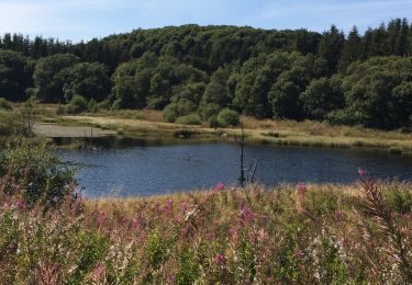
Walking

Walking
Walking

Walking
Walking
Nordic walking
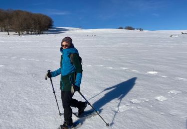
Snowshoes
Walking
Walking